

-
3 March 2015
- From the section Africa
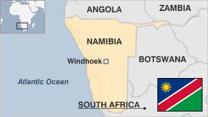
Namibia, a large and sparsely populated country on Africa’s south-west coast, has enjoyed stability since gaining independence in 1990 after a long struggle against rule by South Africa.

Germany took control of the area which it called South West Africa in the late 1800s. The discovery of diamonds in 1908 prompted an influx of Europeans. South Africa seized it during World War I and administered it under a League of Nations mandate.
Germany has apologised to Namibia for the colonial-era killings of thousands of members of the Herero ethnic group; their descendants have asked Berlin for financial compensation.
Namibians achieved independence in 1990 after a bush war of almost 25 years. Inter-racial reconciliation encouraged the country’s white people to remain and they still play a major role in farming and other economic sectors.
In recent years supporters of land reform have become more vocal. The expropriation of white-owned farms began in 2005 and the government says it aims to resettle many thousands of landless citizens.
Like its neighbours, Namibia’s wellbeing is being threatened by the HIV/Aids epidemic, which is estimated to affect 25% of Namibians. Mr Nujoma made the fight against the disease a national priority.
In the late 1990s secessionist troubles in the Caprivi Strip, in eastern Namibia, prompted thousands to flee to Botswana. In 2002 the government declared that the area was safe for tourists.
Deserts occupy much of the country; their dunes take on shapes and colours according to the elements. The country also boasts game-rich grasslands and a semi-arid Central Plateau, large tracts of which are given over to livestock farming.
- Frank Butler

- Frank Butler
- Frank Butler
- Frank Butler


